About the Department
The department consist of people who are lecturer for Bachelor of Geodesy and Cartography, Bachelor of Environmental Engineering,
Master of Science for the Geoinformatics and Mine Surveying as well as doctoral studies. Our teaching methodology is based on the
experiences which come directly from our very strong cooperation with industry and business companies. This is where we
are looking for interesting research topics, we implement our research results and our best graduates work there.
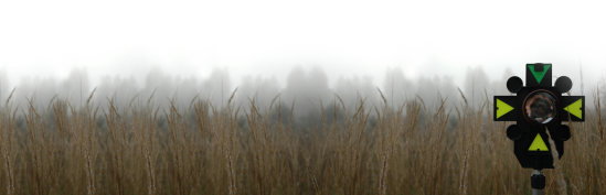
The main areas of our research interests include research and analysis related to the dangers in areas transformed by industry,
especially mining. Hazard and risk assessment is now more and more important issue. Risk can be directly related to a costs
of construction, protection of technical infrastructure (highways, rail routes, pipelines), and to increasing or decreasing
quality of life.
Our main research areas are related to monitoring of the deformation, prediction of rock mass deformation and land subsidence.
We are concentrated also on the risk assessment of investment on post-mining areas, analysis of the development of post-industrial
sites including geotechnical and geo-mechanical risks and environmental impacts. Lately we have focused on application of spatial
information systems for damage risk assessment on mining areas as well as management of the results of deformation
measurements and inventory of mining sites.